![]()
|
|
Historical Maps
Following are several samples
of historical maps.
| ||||||||||||||
|
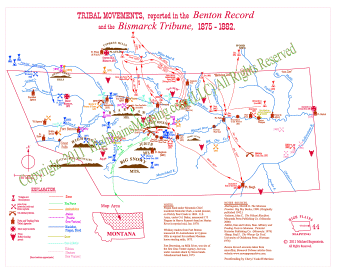
Tribal Movements (Montana) 1875-1882
|
|
|
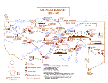
The Piegan Blackfeet 1800 - 1890 (high resolution image)
|
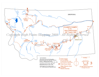
Clark's Camps on the Yellowstone 1806
|
|
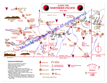
Along the Northern Pacific
1876 - 1892
|
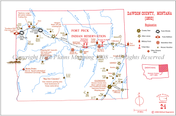
Dawson County, Montana 1892
|
|
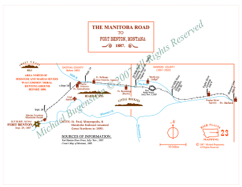
The Manitoba Road to Fort Benton, Montana 1887
|
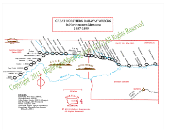
Great Northern Railway Wrecks in Northeastern Montana 1887 - 1899 (high resolution image)
|
|
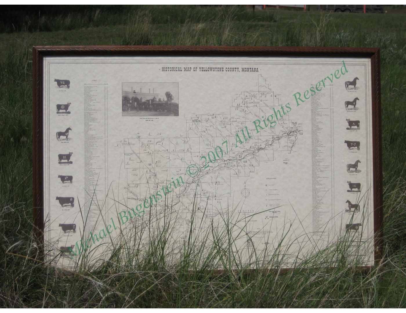
Historical Map of Yellowstone County, Montana (click on image for high resolution image) Click here to see detail of Billings/Laurel
|
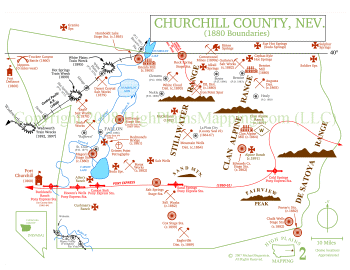
Churchill County, Nevada (sources)
|
|
© High Plains Mapping, LLC |